

Geospatial Cloud Solutions by TerraOps
At TerraOps Innovations, we empower our clients to elevate their geospatial applications and data into the cloud with the best practices in DevOps approaches.
With TerraOps, setting your OsGEO spatial app stack in the cloud is not just an upgrade — it's a transformation.


OsGEO software stack Support and OGC service implementation.
TerraOps is dedicated to the advancement and implementation of FOSS4G software, with a particular focus on the OsGEO software stack.
Our expertise encompasses a range of open-source geospatial tools including MapServer, GeoServer, GeoNetwork, GDAL, and PostGIS.
We are also at the forefront of implementing and supporting the new OGC REST API services (we ❤️ pygeoapi) and also the previous WMS, WFS and WCS services.
Our approach is rooted in a deep understanding of these technologies, ensuring that our services are not only robust but also aligned with the evolving landscape of open geospatial standards.
Resilient deployment into cloud environments using DevOps-as-a-Service
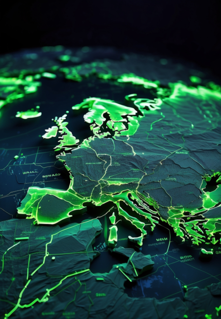
TerraOps creates resilient deployments within cloud environments, utilizing Kubernetes and DevOps methodologies to ensure high availability and maintain uptime. Our approach incorporates infrastructure as code practices, leading to robust and scalable systems. As a trusted partner, we rely on premier cloud and server providers such as Google Cloud Provider Services and OVHcloud, with a commitment to secure deployments within European Union territory, aligning with local data sovereignty requirements. Our expertise ensures your geospatial applications are not just deployed, but thrive in the cloud with TerraOps.
'%3e%3cpath%20d='M0.376831%208.16821C-0.247095%208.54593%20-0.057966%209.49862%200.662688%209.60837C1.24211%209.69666%201.52052%2010.3701%201.17304%2010.8431C0.740845%2011.4312%201.27942%2012.2389%201.98713%2012.0639C2.55609%2011.9231%203.07065%2012.4387%202.9302%2013.0088C2.75556%2013.718%203.56158%2014.2577%204.14855%2013.8246C4.62054%2013.4764%205.29275%2013.7554%205.38073%2014.336C5.49024%2015.0581%206.44099%2015.2476%206.81798%2014.6224C7.12107%2014.1198%207.84864%2014.1198%208.15171%2014.6224C8.52867%2015.2476%209.47943%2015.0581%209.58896%2014.336C9.67707%2013.7554%2010.3492%2013.4764%2010.8211%2013.8246C11.4081%2014.2577%2012.2142%2013.718%2012.0395%2013.0088C11.899%2012.4387%2012.4136%2011.9231%2012.9826%2012.0639C13.6903%2012.2389%2014.2289%2011.4312%2013.7967%2010.8431C13.4492%2010.3701%2013.7276%209.69653%2014.307%209.60837C15.0276%209.49864%2015.2168%208.54597%2014.5929%208.16821C14.0912%207.86452%2014.0912%207.13547%2014.5929%206.83178C15.2168%206.45407%2015.0277%205.50138%2014.307%205.39162C13.7276%205.30334%2013.4492%204.62989%2013.7967%204.15695C14.2289%203.56879%2013.6903%202.76112%2012.9826%202.93613C12.4136%203.07687%2011.8991%202.5613%2012.0395%201.99115C12.2141%201.28199%2011.4081%200.742345%2010.8211%201.17541C10.3492%201.52356%209.67695%201.2446%209.58896%200.664029C9.47945%20-0.0580596%208.5287%20-0.247606%208.15171%200.377594C7.84863%200.880237%207.12106%200.880237%206.81798%200.377594C6.44103%20-0.247596%205.49027%20-0.0580831%205.38073%200.664029C5.29263%201.24462%204.62054%201.5236%204.14855%201.17541C3.56158%200.742345%202.75554%201.28201%202.9302%201.99115C3.07065%202.56126%202.55612%203.07686%201.98713%202.93613C1.2794%202.76113%200.740845%203.56879%201.17304%204.15695C1.52049%204.62989%201.24209%205.30346%200.662688%205.39162C-0.0579426%205.50136%20-0.247105%206.45403%200.376831%206.83178C0.878459%207.13548%200.878459%207.86453%200.376831%208.16821Z'%20fill='%2306D889'/%3e%3cpath%20d='M15.9538%202.36914C16.0076%202.37303%2016.0584%202.39528%2016.0969%202.43199L21.5932%207.33816C21.64%207.38032%2021.6667%207.43974%2021.6667%207.50196C21.6667%207.56403%2021.64%207.62346%2021.5932%207.66561L16.0969%2012.5718C16.004%2012.6555%2015.8589%2012.6504%2015.7723%2012.5603C15.6857%2012.4704%2015.6901%2012.3291%2015.7821%2012.2442L20.842%207.72827H2.19881C2.07772%207.73045%201.96973%207.62311%201.96973%207.5052C1.96973%207.38728%202.07772%207.28057%202.19881%207.28213H20.842L15.7821%202.75945C15.7072%202.69582%2015.6829%202.59238%2015.722%202.5034C15.7611%202.41442%2015.8549%202.36012%2015.9538%202.36914Z'%20fill='%2306D889'/%3e%3c/g%3e%3cdefs%3e%3cclipPath%20id='clip0_1230_608'%3e%3crect%20width='26'%20height='15'%20fill='white'/%3e%3c/clipPath%3e%3c/defs%3e%3c/svg%3e) Google cloud services or OVHcloud
Google cloud services or OVHcloud- Infrastructure as Code (IaC)
- Monitoring and Logging
- Chaos Engineering (Resilience)
Streamlining Solutions for Geospatial Excellence.
Geospatial Consultancy
TerraOps provides consultancy services tailored to the implementation and utilization of OsGEO software within geospatial projects.
Cloud Solutions
Specialized in the deployment and management of geospatial technologies within cloud environments. Levering the power of platforms like Google Cloud Services and OVHcloud. We ensure that your geospatial applications are scalable, secure, and seamlessly integrated into the cloud.
REST API and OGC Standards Support
Implementation and development of OGC REST API services and standards, crucial for seamless geospatial data integration, vital for creating efficient and interoperable applications for the customer's needs. Once again, We ❤️ pygeoapi
Geospatial Python coding
Python development, offering custom app development services that leverage the power of geospatial tools such as GDAL. Enhanced by our deep understanding of geospatial data processing and management, we deliver solutions that meet the specific needs of projects, always in mind that app will run in cloud environments (12 factor approaches)